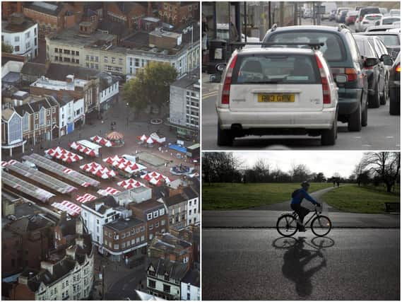
Council plan picks out six major Northampton roads it wants to redesign to create 'fully joined up cycle network'


Six major Northampton roads have been earmarked by the county council as the basis of a 'fully joined up cycle network' they want to build for the town.
A consultation was launched this week by the county council asking for residents' feedback on a 60-page plan to make Northampton 'a leading town for cycling and walking' by 2031.
Advertisement
Hide AdAdvertisement
Hide AdAmong the designs for individual routes in town that need maintenance, the plans also picked out six major roads that could be reworked to make choosing to cycle safer.
It includes proposals to add a two-way cycle lane across the bridge over the Nene on Towcester Road, building segregated cycle lanes from Morrisons to town centre on Kettering Road and doing the same from the entrance of Delapre Abbey into town.
It also includes a scheme revealed by the Chronicle & Echo this week to design the entire length of Billing Road into a one-way street and turn the opposite carriageway into a two-way cycle lane, which has been met with mixed opinions by councillors and readers.
To read the 60-page plan, visit the council's website. To give feedback, read the questionnaire here.The plans read: "In order to achieve a significant shift in the numbers of people cycling, consideration was given to the type of improvements that would be required to ensure attractive routes, which would encourage larger numbers of people to cycle than is currently the case.
Advertisement
Hide AdAdvertisement
Hide Ad"Many of the improvements proposed... include fully segregated cycle tracks, which would contribute significantly towards creating a fully joined up network of safe, attractive routes for cycling across the town."
The plans also note that improvement would 'inevitably' mean some roads would need to have parking removed or carriageway space reduced.
Several suggested improvements involve 'shared-use facilities', meaning routes designed for pedestrians and cyclists. These can be lined with traffic wands to separate the two types of users ('segregated').
The other five roads - listed in order of "priority" according to the council - that could be redesigned or improved include:
Advertisement
Hide AdAdvertisement
Hide Ad■ Kettering Road - "One of the busiest vehicle routes into the town [but also] at present there is very little dedicated cycling infrastructure along this route... Widening shared-use facilities near Thomas Becket secondary school... Introduction of segregated cycle tracks between Morrisons Supermarket and Town Centre is propose, requiring the reallocation of a proportion of carriageway space away from motor vehicle use." Est. cost: £3m - £4m
■ Wellingborough Road - "there is currently very little cycle provision along its entire length... It is proposed to widen footways between Great Billing Way and Weston Favell Shopping Centre to create new shared-use facilities... Investigate secregated cycle tracks from Weston Favell to Abington Park Crescent." This plan also proposes to link with idea of a two-way cycle track on Billing Road, rather than send cyclists down the commercial area of Wellingborough Road. Est. cost: £2m - £3.5m
■ London Road - "From the entrance to Delapre Park to the town centre, cycling is currently in-carriageway and requires the negotiation of a number of busy and complex multi-lane junctions... As with Kettering Road, segregated cycle-tracks are proposed along much of this section." Est. Cost: £1.5m - £2m.
■ Harlestone Road - "Half of the route closest to the town have very little or no cycling provision... New shared-use shared-use facilities are proposed, along with routing cyclists along quieter roads away from junctions... Improve crossings at Mill Lane and Bants Lane junction. Est. Cost: £500k - £1m.
Advertisement
Hide AdAdvertisement
Hide Ad■ Towcester Road - Between St Leonards Road and the roundabout junction with St James Mill Road East, the existing road bridge over the River Nene and Grand Union Canal carries four traffic lanes, separated by hatching, with a relatively narrow footway on either side. It is proposed to review the space allocation across this bridge with a view to incorporating a two-way segregated cycle track to link to the existing off-carriageway cycle route that continues along the river between Carlsberg and B&Q. Est. cost: £500k - £1.3m.
Comment Guidelines
National World encourages reader discussion on our stories. User feedback, insights and back-and-forth exchanges add a rich layer of context to reporting. Please review our Community Guidelines before commenting.