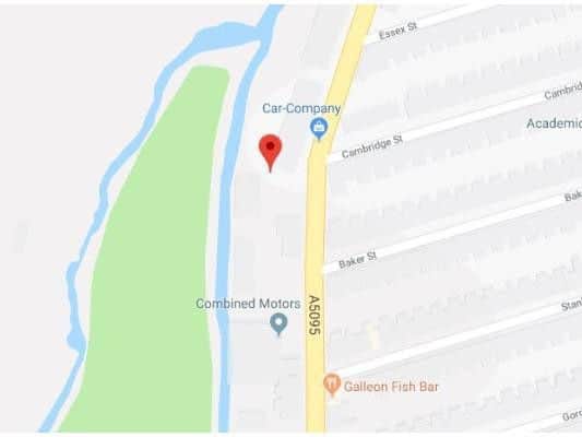
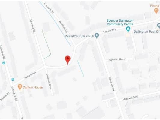
These are the 14 areas in Northampton and surrounding areas most prone to flooding

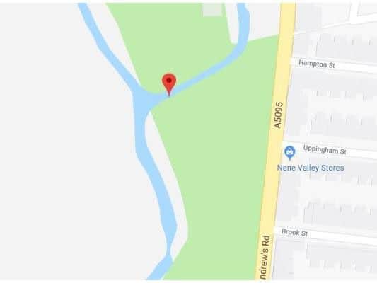
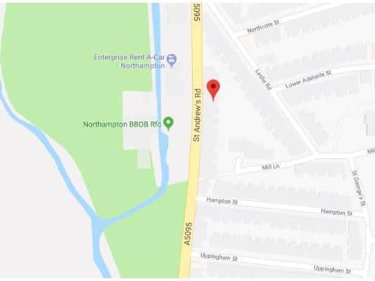
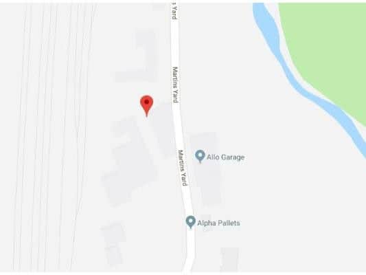
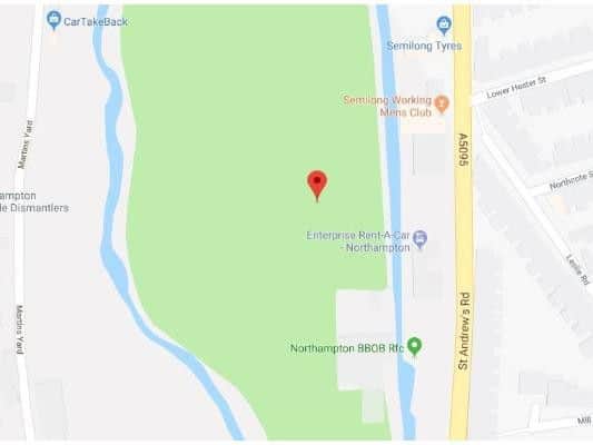
Here are the 14 areas of Northampton which have been identified as most at risk of surface water flooding.

The at-risk areas are listed on Get The Data and are identified by postcode, showing the level of risk, suitability and if the flooding poses a risk to insurance. The data is taken using a single point within each postcode using Open Postcode Geo, identifying the flood risk area which that point falls within. There may be other points, within the postcode which fall into a different area, and hence have a different risk level.
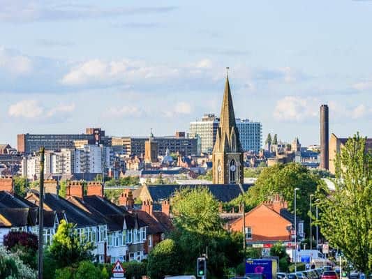
These are the 14 areas of Northampton which have been identified as most at risk of surface water floodingplaceholder image
These are the 14 areas of Northampton which have been identified as most at risk of surface water flooding
Risk: High. Suitability: County to Town. Risk for insurance: Yes.placeholder image
Risk: High. Suitability: County to Town. Risk for insurance: Yes.
Risk: High. Suitability: County to Town. Risk for insurance: Yes.placeholder image
Risk: High. Suitability: County to Town. Risk for insurance: Yes.
Risk: High. Suitability: County to Town. Risk for Insurance: Yes.placeholder image
Risk: High. Suitability: County to Town. Risk for Insurance: Yes.
Risk: High. Suitability: County to Town. Risk for insurance: Yes.placeholder image
Risk: High. Suitability: County to Town. Risk for insurance: Yes.
Risk: High. Suitability: County to Town. Risk for insurance: Yes.placeholder image
Risk: High. Suitability: County to Town. Risk for insurance: Yes.
Risk: High. Suitability: County to Town. Risk for insurance: Yes.placeholder image
Risk: High. Suitability: County to Town. Risk for insurance: Yes.
Related topics:
News you can trust since 1931
Follow us
© 2026 Iconic Media Group Ltd. All rights reserved.Cookie SettingsTerms and ConditionsPrivacy notice