
Thankful Chris completes Lord of the Rings-style map of Northamptonshire with your help
After receiving hundreds of replies and suggestions from people all over the county, Chris Birse has completed his Tolkien-esque map of Northamptonshire.
Chris had previously asked local people to offer their insights and ideas that would help fill out his map of the county, which is being made in a style similar to Tolkien’s The Lord of the Rings, and has expressed his gratitude to those who offered their suggestions.
He said: “I’ve done a lot of these now but this has been one of the best received yet.
“I’d just like to thank everyone that commented or shared it. Just to get all of those locations in that I wouldn’t find otherwise because a lot of them are so specific to a local village or neighbourhood, I’d never find them.
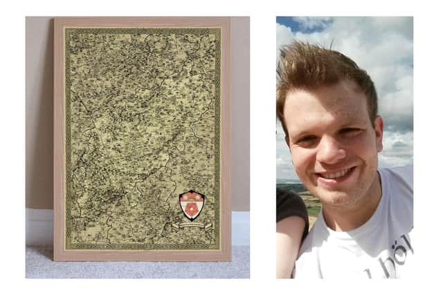

“Some of them are so rich in history that they’re really worth putting on. There’s some massive Roman heritage down there which I wasn’t aware of, and there’s some cool ones in Boughton, all the follies up there like the spectacle are really cool.
“It’s just a whole mix of everything, and thanks to everyone that suggested things.”
Responses ranged from the bone crypts in Rothwell to the national lift tower in Northampton, which Chris compared to Isengard (if you know, you know).
Chris started out with the hobby after writing a fantasy novel of his own and needing to come up with a fictional map at the beginning of the book. This prompted him to create one of his home region and since then has continued making them of other counties using Photoshop.
His next county of choice will likely be Bedfordshire which, to us at the Northants Telegraph or the Chronicle & Echo, may as well be Mordor.
You can buy one on Chris' Etsy store here.