
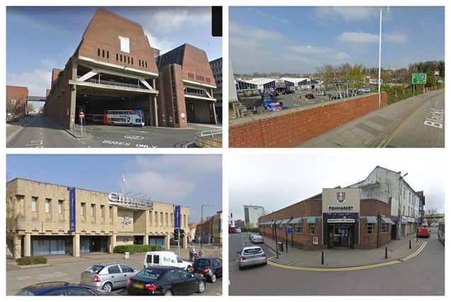


Take a look back at 30 Google Maps pictures of what Northampton town centre looked like back in 2009.
Google Maps' street view feature allows users to virtually traverse the streets of Northampton as they were in 2009.
This newspaper has scouted out the town on Google Maps back in 2009, screenshotting streets and places of note in the town centre.
In the span of 14 years, Northampton has undergone huge changes, and these snapshots provide a unique window into the town's evolution.
One striking observation from the images of 2009 show how the internet has changed the landscape of the High Street, with many products just a click of a button away instead of a trip into town.
As technology continues to advance and capture our surroundings, these digital archives will undoubtedly be cherished by future generations, offering them glimpses into the town's ever-evolving story.
Click through our gallery to see what the town looked like in 2009.
29. Looking back at Northampton in 2009
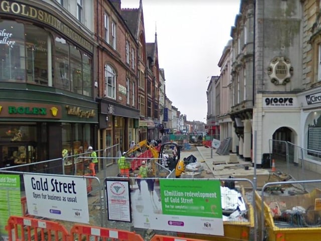
Gold Street. This is the best shot of Gold Street Google had, probably due to the ever changing rules of cars being allowed up and down it. Michael Jones Jeweller (left) still exists today, as well as Circus (right). However, the former Groove nightclub has since closed and so has the Grand Hotel (centre), which is now a Travelodge. Photo: Google
30. Looking back at Northampton town centre in 2009
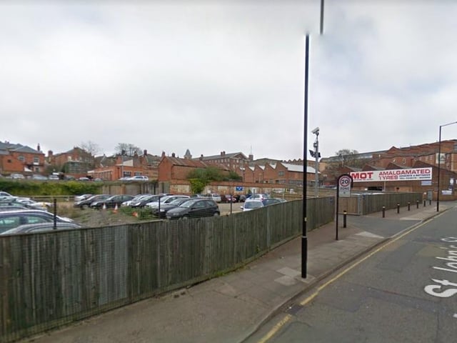
Before the council's multi-million pound One Angel Square building was built there stood a very mundane car park. Photo: Google
31. Looking back at Northampton in 2009
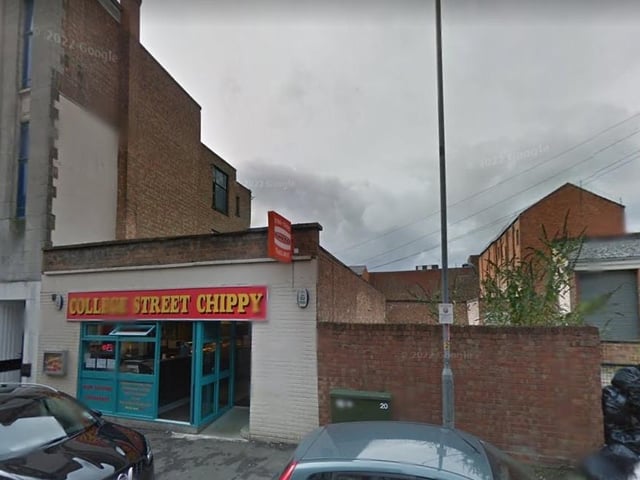
The former College Street Chippy in College Street was famous in the town. The freehold site is currently up for sale for £250,000 with planning permission to build three-flats as pat of an extension. Photo: Google