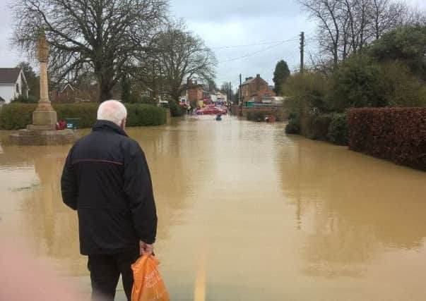
Work launched to prevent future floods in Northamptonshire village


Yelvertoft was one of the worse affected places in the floods of March this year when the High Street was blocked by the water, and several homes also flooded.
On Thursday last week representatives from the EA and county council were in the village to talk to residents about the problems they faced that day in March, where exactly flooded, and if the locals had knowledge of any potential problems along the village’s ditches and brook.
Advertisement
Hide AdAdvertisement
Hide AdThe floods of Wednesday, March 9 saw Yelvertoft’s existing flood defence overwhelmed. A water catchment area worked as planned, but simply could not contain enough rain.
The water flowed out of the catchment area and down the brook, where it quickly filled the culvert that normally carries the water through the village. Once that was full the water reached street level and flowed through the village, flooding roads, gardens and houses.
Ian Mackintosh was one of those whose homes flooded. He said: “The problem was the volume of water.
“The rain started around midnight. By 9am the catchment was full and had overflowed. We ended up with about a foot of water in our house. The level started to fall from about 10am or 11am I’d say. Within three hours it had gone.
Advertisement
Hide AdAdvertisement
Hide Ad“The water catchment needs to be made bigger – much bigger.”
The EA will use the information gathered at Thursday’s meeting to assess the level of flooding in the village on March 9, and to also examine where there might be problems with culverts, drains and ditches. They can either take action, or inform the landowner responsible.
A spokesman for the EA also said they were looking at installing a remote monitoring camera to monitor levels in the water catchment area.