BEAST FROM THE EAST: Snow warning for Northamptonshire upgraded to Amber '˜be prepared' as Highways England advise motorists to stay home


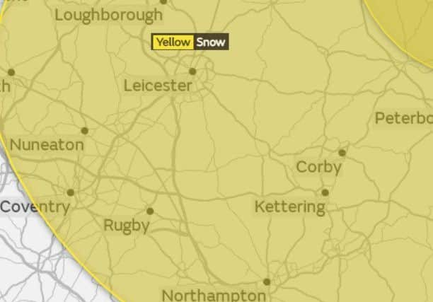
The Met Office has issued a yellow warning for snow in Northamptonshire from 2pm today (Monday) but has now issued an upgraded amber warning, meaning ‘be prepared’ for Tuesday morning.
A Met Office spokesman said: “Snow showers, already affecting eastern parts of England early on Monday, are expected to become more persistent and more widespread through Monday afternoon and evening.
Advertisement
Hide AdAdvertisement
Hide Ad“Snow showers or longer periods of snow are expected on Tuesday, accompanied by very low temperatures. The heaviest, most persistent snow looks likely to cross the area during the morning.
“There is the likelihood of travel delays on roads, with some stranded vehicles and passengers, as well as delays or cancellations to rail and air travel. Some rural communities could become cut off. Power cuts may also occur and other services, such as mobile phones, may be affected.”
An amber warning means “be prepared”. There is an increased likelihood of bad or extreme weather, potentially disrupting plans and causing travel delays, road and rail closures, interruption to power and the potential risk to life and property. Be prepared to change your plans and protect you, your family and community from the impacts of the severe weather.
A spokesman for Highways England said: “Road users in the North East of England, Midlands and the East of England are being advised to check the weather forecast and road conditions before travelling on Tuesday 27th February as significant levels of snow are forecast and Highways England has issued a severe weather warning.
Advertisement
Hide AdAdvertisement
Hide Ad“A band of snow is expected to affect parts of the network through Tuesday morning. The snow is expected to come into the north east through the very early hours of the morning, affecting the East Riding of Yorkshire and North Lincolnshire, before gradually progressing south west towards Birmingham and the West Midlands conurbation, Leicestershire and Nottinghamshire, falling at all altitudes including sea-level.
“Areas are likely see 2 to 4 cm with some roads potentially seeing 5 to 10 cm of snow in just a few hours (most likely across South East Yorkshire, Lincolnshire and Nottinghamshire). Strong winds may lead to some drifting of snow and a severe wind chill is likely. As the snow tracks to the south west, it will lessen in intensity and become more showery in nature.
“Highways England is working closely with the Met Office monitoring the latest weather conditions with snow expected to affect the road network during Tuesday.
“The latest information on road conditions on England’s motorways and major trunk roads is available via our website at www.trafficengland.com or visiting our regional twitter feeds via @HighwaysEngland. In addition, our 24/7 customer contact centre is available on 0300 123 5000 to provide assistance.”
Further information on weather conditions can be obtained by visiting the Met Office website www.metoffice.gov.uk